Moving To Latham: Neighborhoods, Commutes, And Lifestyle
Thinking about moving to Latham but not sure how the neighborhoods connect to your commute, everyday errands, and weekend plans? You’re not alone. Latham sits in a sweet spot of the Capital Region, yet it can feel confusing on a first drive. In this guide, you’ll get a clear picture of how Latham is laid out, how to plan your commute, where to find daily conveniences, and how to scout homes with confidence. Let’s dive in.
Latham is a hamlet within the Town of Colonie in Albany County. It borders the City of Albany and is part of New York’s Capital Region. In practice, people describe locations by nearby roads and shopping centers rather than strict neighborhood names.
You’ll see commercial activity along major roads, especially US‑9 (Loudon Road) and other arterials. Residential streets branch off these corridors and transition quickly into neighboring parts of Colonie and nearby municipalities.
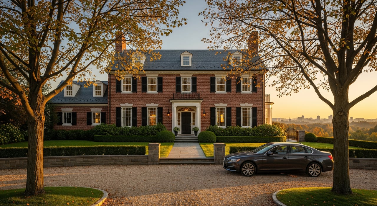
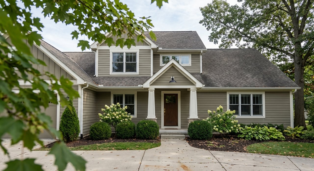
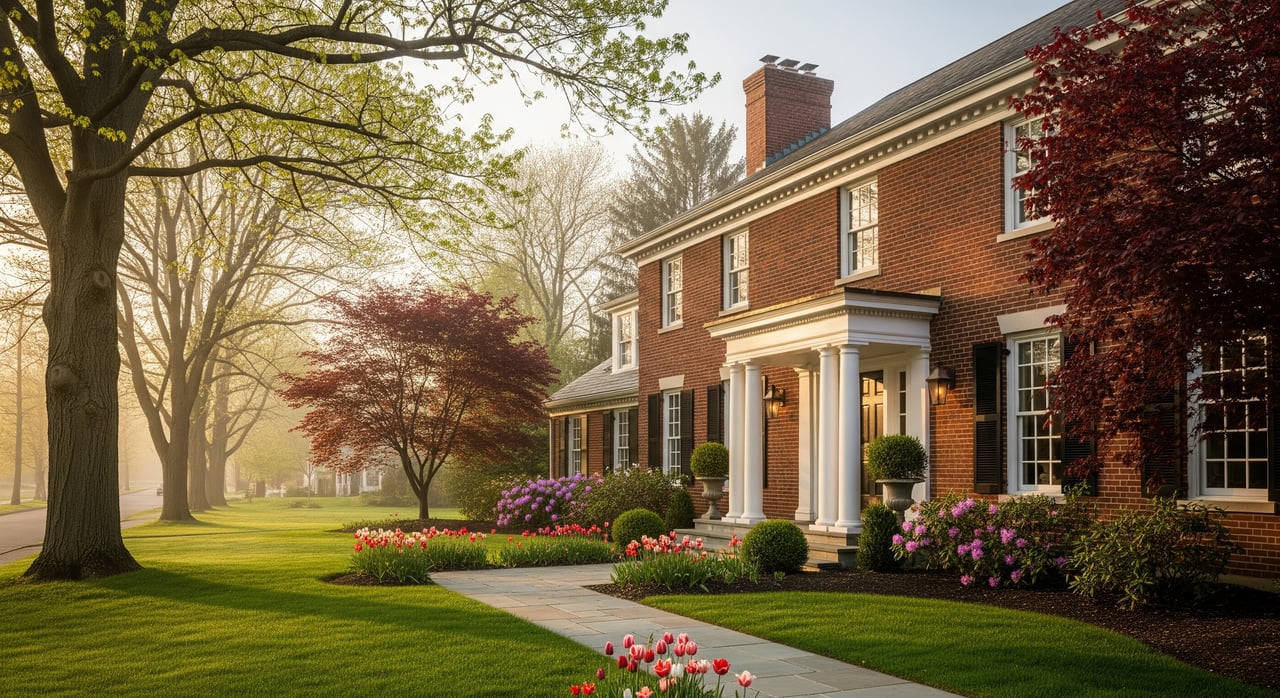
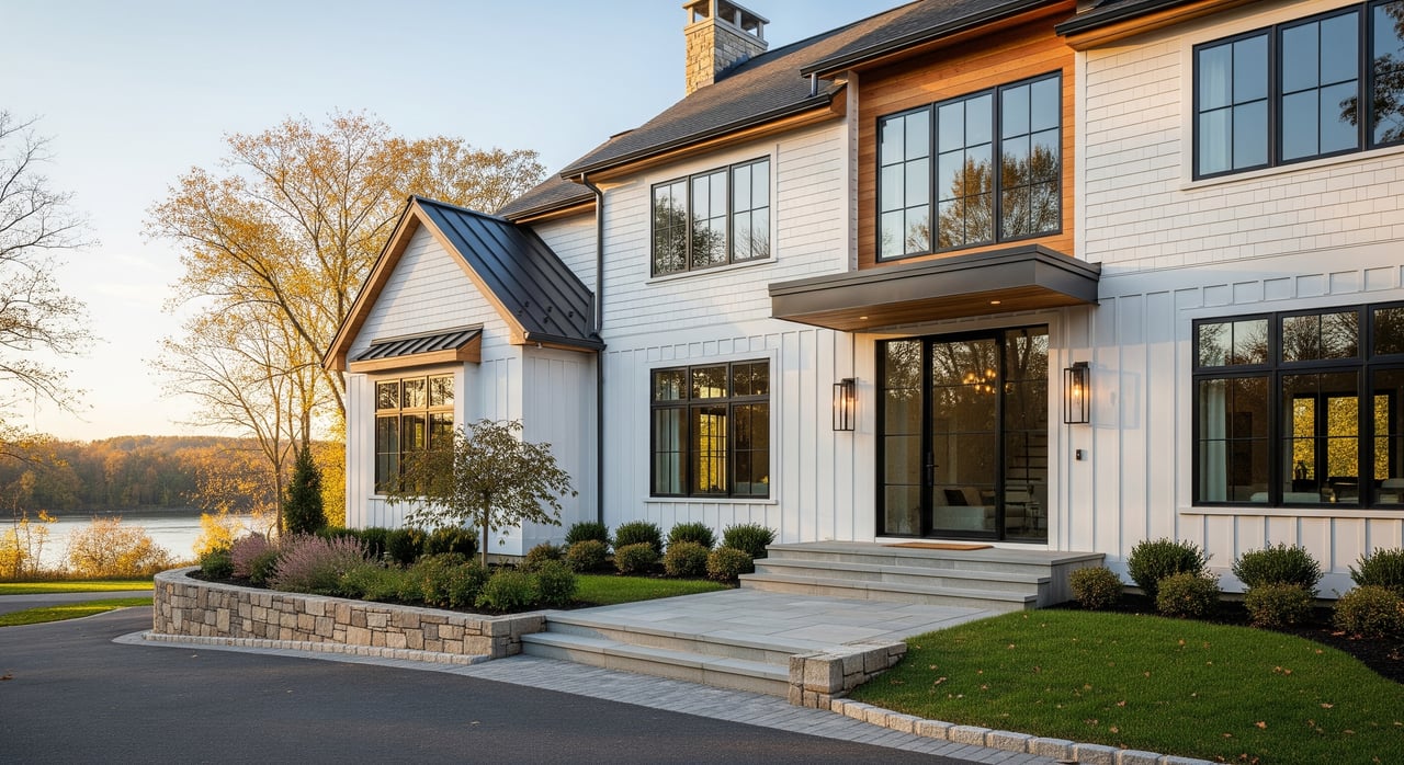
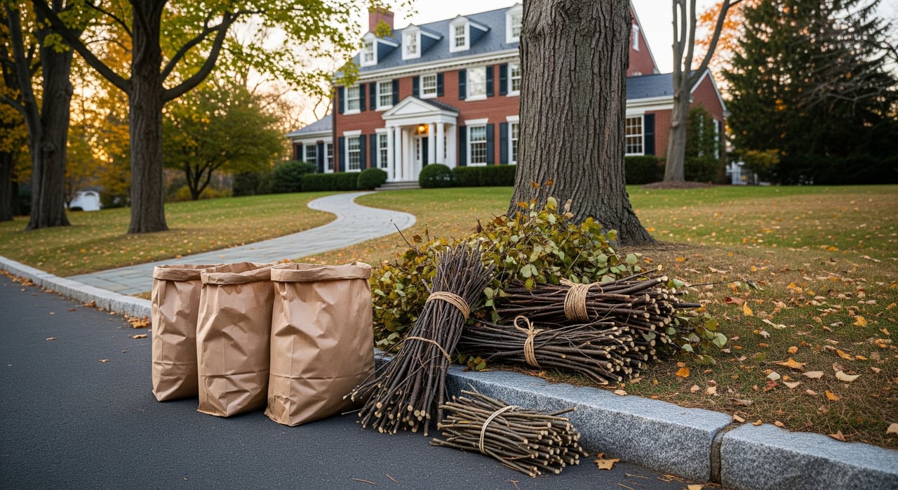
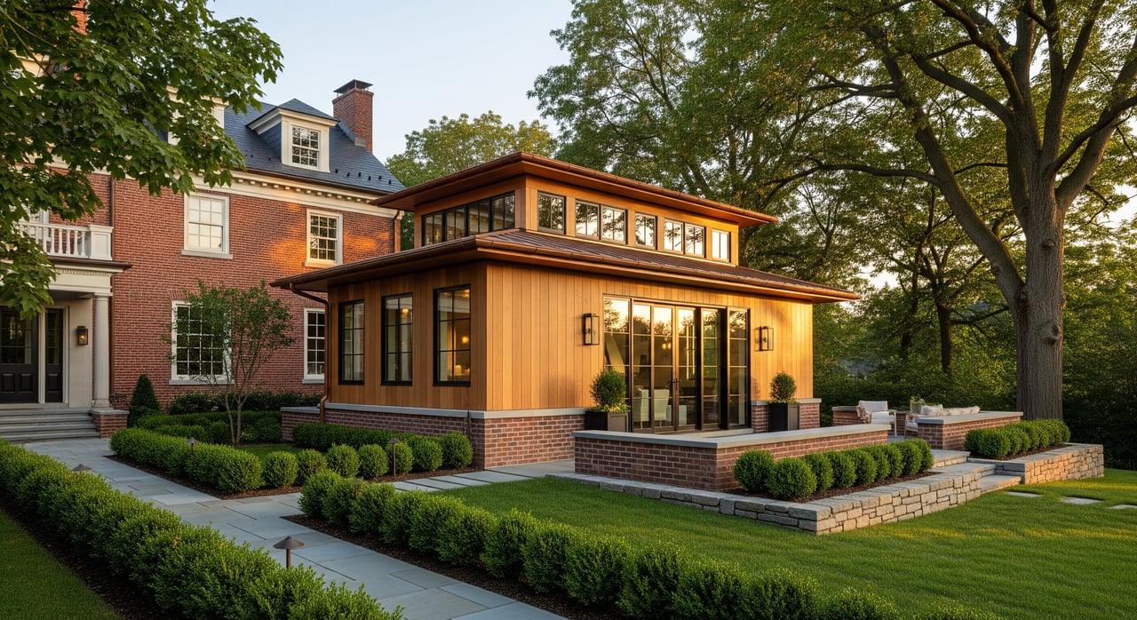
Think of Latham as a blend of established single‑family streets and post‑war suburban subdivisions, with pockets of townhomes and apartment communities. You’ll find ranches, colonials, split‑levels, and newer suburban builds.
Homes range from mid‑20th‑century properties to newer infill. Some have been renovated, while others are in more original condition. If you’re comparing options, review recent listings and Albany County property records for sale history and tax assessments.
Two key corridors shape daily travel:
Expect heavier volumes along these roads during peak hours, with quieter residential streets feeding into them. If you rely on public transit, the Capital District Transportation Authority (CDTA) runs local routes along major corridors in and near Latham with connections into downtown Albany. Always check CDTA’s current schedules, since routes and frequencies can change.
For day‑to‑day planning, use state travel services and real‑time navigation apps. Winter weather and seasonal road work can affect reliability, so check NYSDOT/NY511 advisories when conditions shift.
You can handle most errands within a short drive. Latham’s commercial strips offer groceries, pharmacies, banks, gas, automotive services, and a range of restaurants. Larger regional shopping and specialty stores are close by in other parts of Colonie and nearby cities.
A smart approach is to list your priority stops and map actual drive times from any address you’re considering. Do this during peak periods to get a realistic picture.
Major hospitals and specialty clinics are located in nearby Albany and surrounding municipalities. Before you choose a home, check your preferred providers for proximity and emergency access. Hospital system websites and New York State health facility locators are the best sources for current information.
Parts of Latham are served by the North Colonie Central School District, but attendance boundaries can vary within the Town of Colonie. Always verify the assigned school for a specific address using district maps and by contacting the district directly for enrollment procedures.
Private and parochial options exist across the Capital Region. Childcare availability varies by neighborhood and provider, so check state registries and call providers for current openings and licensing status.
Town and county parks offer playgrounds, ballfields, trails, and seasonal programs. You also have access to the Mohawk and Hudson river corridors and regional preserves for hiking and water‑adjacent activities. Program schedules and facility hours change seasonally, so review municipal parks calendars when planning a visit.
Multiple providers serve electric, gas, water, sewer, and cable/Internet across Latham. Service types can vary by parcel, and some properties may use private systems. For each address, verify:
Provider availability maps and the Town’s public works departments are authoritative for address‑specific details.
Visit at least twice:
When you tour, keep notes on how each area feels, where you would walk or drive most, and any noise from highways or commercial areas. This helps you compare homes beyond the listing photos.
Use this checklist while you explore:
Before you make an offer or list your home, gather:
When you speak with sellers, agents, or the Town, ask:
If you want commuter convenience, look near the main corridors, especially US‑9 and I‑87, but always test your route during peak times. If you value quieter streets, explore residential pockets set back from the arterials and verify sidewalk continuity and park access. For any address, confirm utilities, school assignment, transit options, flood status, and seasonal conditions before you decide.
When you are ready to compare homes, coordinate tours, or prep a sale, you’ll move faster with a local partner who understands Latham’s practical details and how they affect daily life.
You deserve a clear plan and responsive guidance. If you’re buying, we’ll help you map commutes, verify school boundaries, and evaluate each property’s day‑to‑day convenience. If you’re selling, we’ll pair expert pricing advice with premium digital marketing to maximize your listing’s reach. Connect with Jamie M Mazuryk to discuss your move or get your free home valuation.


Whether you’re starting fresh, moving up, or investing in what’s next, our mission is to make sure your next move feels just right. It’s more than real estate, it’s your next chapter, and we're here to help you turn the page with confidence.